Moore's Creek
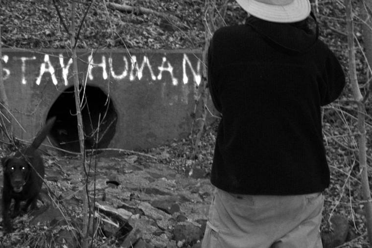
Walked 2.7 miles along the south bank of Moore's Creek Saturday morning. The walk made possible by the superb effort of the Rivanna Trails Foundation. These fine people and their volunteers have constructed walking trails around the City of Charlottesville.
Moore's Creek is listed by the Virginia DEQ as an "impaired waterway", it is burdened by organisms and chemistry that it is not supposed contain and it is missing the good stuff (living critters) that it used to contain. (Massive efforts are underway to repair).
The thing I love about the walk, there is a wildness in the midst of our urban environment and with effort it can be preserved and enjoyed, burning a gallon of gas to get to the Shenandoah National Park isn't strictly necessary.
The trail section ends abruptly at the point where Moore's Creek joins the Rivanna River. Hmmm. In former times this is the spot where Th. Jefferson was rumored to cross, course he was riding a horse. In more recent times (1913) there was a footbridge (note: you must check out the Holsinger photo!!!)
We were on foot. Waded from the base of Monticello mountain through Moore's Creek to Sand Island. From Sand Island we waded again to the south bank of the Rivanna and the terminus of Woolen Mills Road.
Labels: environment, riverine
posted by emory at 9:46 AM
![]()
![]()

1 Comments:
It was a great hike, Bill. Highly recommended to anyone looking to discover long lost muscle in their backside. (smile) My shoes are still drying out from the crossing. Thank god it is the dry season.
Post a Comment
<< Home