older than Jesus
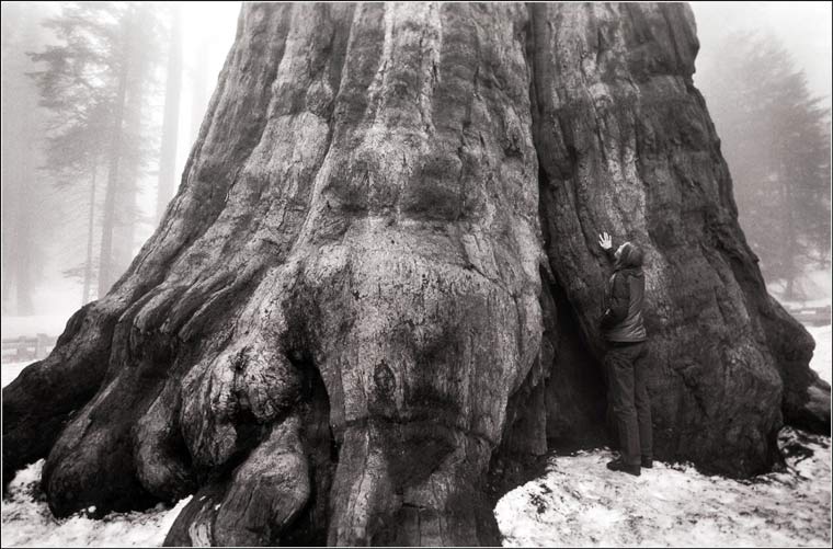
Labels: awe
posted by emory at 11:39 AM
2 comments
![]()
![]()
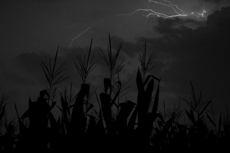
photography from the Chesapeake Bay watershed
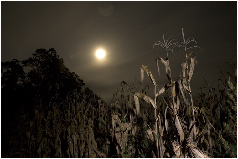
posted by emory at 12:09 AM
4 comments
![]()
![]()
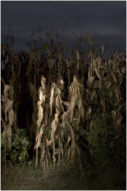
posted by emory at 9:09 AM
0 comments
![]()
![]()

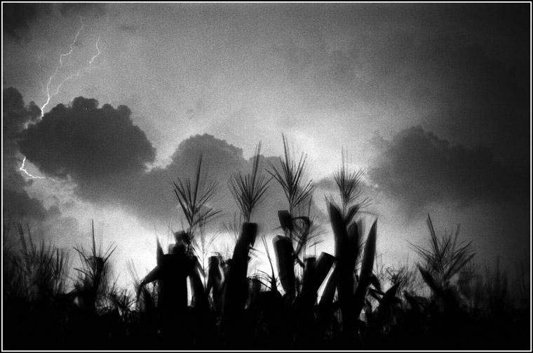
posted by emory at 12:35 AM
0 comments
![]()
![]()